
Trace a Natick Street by Address
Begin with a complete Natick address, including the street number and street name. The town's Property Assessment Information page provides owner-name and property-address routes into its integrated assessment and WebGIS system. That record is an ownership and parcel starting point, not a household roll. Copy the situs address, map or parcel identifier when shown, owner name, mailing address if shown, and legal deed reference before opening another source. Keeping the property location separate from an owner's tax-mailing address prevents a common false match.
Then widen the view one record at a time. MapGeo supplies the parcel context, the Middlesex South index follows the legal transfer chain, and a defined local voter-list request can address registered-voter information that is public by law. Historical listings can add an earlier household clue. Each source has its own limits, so compare dates as well as names.
- Search the address in Natick Assessment/WebGIS and save the parcel and deed reference shown on the property card.
- Open the same parcel in MapGeo, then inspect nearby parcel polygons without assuming that a shared boundary means a shared household.
- Use the deed reference or the current owner's name in the Middlesex South Registry index, and keep recording date separate from the transaction date.
- For a lawful public-record question, ask the Natick Town Clerk for a narrowly defined local voter list by street, precinct, date, or fields.
- For an older address trail, compare the address with the street section in a dated directory and then test the name in census, newspaper, or deed material.
Note: A clean street search is a chain of dated records, not proof that every person at an address appears in one list.
Natick Street Directory Search Fields
The town describes its FY2026 assessment database and MapGeo as linked resources with owner information, land information, legal deed references, assessed values, and a Property Record Card. The public description confirms an owner-name entry point and a property-address entry point. MapGeo also lets a researcher identify a parcel from the map. The town has not published a complete text list of every live control, so a search should use only the fields confirmed by the town instead of guessing at a ZIP filter or a parcel-number format.
| Natick field or control | How it is used | What the record may anchor |
|---|---|---|
| Owner name | Start with a name or compare a spelling from a deed. | Assessed ownership relationship. |
| Property address | Enter the street number and street name or select the address route. | Situs address and the related parcel. |
| Parcel or map selection | Click the mapped tax parcel after locating the street. | Parcel context and the card connection. |
| Property Record Card | Open the available card or PDF from the selected parcel. | Assessment, land, and legal deed-reference details. |
| Search or map identify | Use the live search or identify control, whose exact label can change. | Entry into the parcel record. |
A property card can distinguish the physical site from the mailing contact for tax purposes. The Collector/Treasurer does not maintain address databases, and the town directs mailing-address changes to the Assessors. A mailing field may point to a business, a family contact, or another address. It should not be treated as a current-residence finding without an independent, lawful record.
MapGeo and Natick Street Parcels
Natick's GIS page describes the public layers available around a parcel: tax parcels, zoning and civic boundaries, water and sewer infrastructure, wetlands, natural resources, public-safety data, built features, and aerial imagery. Search or pan to a street, select the parcel, and use the property-card connection as the bridge back to assessment information. The layers are useful for identifying a place and its mapped context, not for deciding a legal line.
The Town GIS overview shows the kinds of parcel and context layers available before a street search begins.
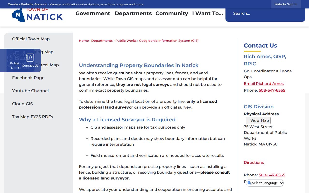
Those layers help separate parcel context from personal information. Natick cautions that assessor and GIS lines are tax-reference maps, not legal surveys. For a boundary question, compare recorded deeds and plans and obtain professional survey advice when a legal determination is needed.
- Parcel
- A mapped tax unit used to connect an address with assessment and land records.
- Situs address
- The location where the parcel or structure sits, which may differ from a tax-mailing address.
- Plat or recorded plan
- A recorded drawing that can identify lots, boundaries, or a subdivision. In Massachusetts, the Registry plan search is the relevant route.
- Criss-cross directory
- A directory arranged by address or street instead of alphabetically by name. Natick's verified 1911 volume has a street-directory section; a later local reverse run has not been confirmed.
Note: Natick GIS is useful for parcel context, but a recorded plan or deed supplies the legal land description.
Natick Street Deed Chains
The Middlesex South Registry of Deeds portal is the county-level land source for Natick. Its Recorded Land choices include Name, Document, Book, Property, Recorded Date, and Unindexed Property Search for books 1 through 1024. Registered Land and plan searches are separate. Start with the deed reference on the assessment card when available, or try Property Search with Natick, street number, and street name. If that does not return the parcel, search the owner as a party and then use the legal description, plan, map, or lot reference.
On a purchase deed, record the grantor, grantee, instrument type, execution date, recorded date, document or book-and-page reference, legal description, and plan reference. Search the seller as a prior grantee to continue backward, or search a grantee forward to locate a later transfer. The portal states that searching, viewing, and downloading are currently free, but its landing page does not provide an earliest online-index year. A blank online result is therefore not proof that an older instrument is absent.
When the address trail stops, try Registered Land, Plans, and the unindexed-book mode. The Registry can also provide a counter, terminal, phone, or email fallback; its office is at 208 Cambridge Street in Cambridge. Older materials may require a Registry visit, deed-book or microfilm review, a certified-copy request, or an archive route. That wider chain is often more useful than repeating the same address query.
Natick Street Directory Coverage
Address-keyed records do not answer the same question. The assessment card is the quickest way to connect a street to a parcel and assessed owner. GIS supplies map context. Registry records document legal instruments. Planning records may put an applicant or project at an address, while historical sources supply dated household clues. Use the record type that fits the question, then preserve its date and source rather than merging all names into one presumed resident list.
| Address source | Keeper | Evidence it supplies | Access channel |
|---|---|---|---|
| Assessment card | Natick Assessors | Owner, situs or mailing address, values, land data, and deed reference. | MapGeo and FY2026 list; office questions at 508-647-6420. |
| GIS parcel map | Natick GIS | Parcel geometry, abutting parcels, zoning, infrastructure, and aerial context. | MapGeo and GIS page; reference mapping only. |
| Deed and plan index | Middlesex South Registry | Parties, instrument, dates, legal description, book-page or document number, and plans. | Free online search and images currently; Registry staff and terminal for gaps. |
| Permit or planning case | Natick Community and Economic Development | Address, case, applicant, project type, status, hearings, and linked permit details. | OpenGov or public year tables; public-record request for existing records. |
| Local voter list | Natick Town Clerk | Public voter fields for registered voters, subject to statutory exclusions. | Narrow request by street, precinct, date, and fields; confidential records remain withheld. |
| Historic street listing | Natick Historical Society and related archives | Dated street or resident clues from listed editions and resident collections. | Digitized sources where available, on-site shelves, research request, or library access. |
For records that are not online, the Natick Public Records Center explains the town's in-person, mail, fax, email, and online-request channels. A request should name an existing record and use a focused date or address range. Massachusetts Public Records Law, M.G.L. c. 66, § 10, generally calls for an initial response within 10 business days, but it does not require the town to create a new roster or answer a research question.
Note: The same parcel number can join assessment and deed records, while a street name alone can change form across historic sources.
Natick Street Geography in Older Records
Historic place names can change the path of a street search. South Natick, Natick Center, West Central, Felchville, and Cochituate developed in different periods and appear as local layers in maps and historical material. South Natick's early Eliot, Union, and Pleasant Street area is distinct from the later civic center, while the Henry Wilson Historic District follows West Central Street. A historic directory may use a village label that a modern parcel search does not expect.
Natick's record geography also reaches beyond town borders. The Registry is in Cambridge, and Natick District Court serves Natick from Framingham. The official precinct map, town GIS, and USPS lookup describe different boundaries for different purposes. No verified Natick street-renumbering year was found, so connect an old address with the 1853 and 1892 map-era sources, the directory street section, deed legal descriptions, recorded plans, map-lot details, and current MapGeo rather than assuming that a number stayed fixed.
Natick Street Permits and Hearings
Natick's Permitting page directs users to its ViewPermit/OpenGov route. The town's planning and ZBA Application Review tables are a clearer public address index: they display year tabs for 2022 through 2026 and list case number, address, status, permit information, project type, description, and related records. A permit or hearing can place an applicant and a project at a location on a specific date.
That is development evidence, not a complete list of people at an address. Link an applicant name back to the assessment card and the Registry deed before treating it as an ownership clue. For older or missing material, request an existing permit, plan, or application with a narrow address and date range. The research did not establish a pre-2022 digitized coverage start for the current cloud system.
Natick Street Directory Voter Limits
The Secretary of the Commonwealth separates an individual's status check from public local voter records. The voter-status form requires first name, last name, full date of birth, residential ZIP, and an agreement checkbox. It is intended for an individual to check that person's registration status. It is not a name-to-address or street-wide lookup.
For a local public-record request, the Town Clerk is the correct Natick route. Public local fields can include name, address, party, date of birth, active or inactive status, voter ID, election participation, record-change history, mailing address, registration date, and inactivity date. Phone, email, veteran, permanent-absentee, confidential-voter, and minor information is withheld. Massachusetts's statewide central voter list is not a public record under M.G.L. c. 51, § 47C.
Natick's annual street listing is another local source, but it is a civic form rather than an open roster. It asks residents to verify household members and report changes. Confidential voters and Address Confidentiality Program participants may be masked under Massachusetts law. A request should therefore be specific and should expect redaction.
Note: A local voter-list request should state the street, date, and needed fields so the Clerk can apply required redactions.
1911 Natick Street Directory Entries
Lakeview Press's 1911 Resident and Business Directory includes resident, street, and business sections as well as town officers, schools, societies, churches, post offices, tax and valuation context, and 1910 census figures. The street section is valuable because it reverses the usual name-first path for that one verified edition. It can show a dated person or business clue at an address, but it does not establish legal title and cannot speak for later years.
The Natick Historical Society identifies the 1911 item and directs researchers to local genealogy material, while its research library also holds the List of Residents for 1850-2019 and a 1965 Resident and Business Directory. The detailed collection trail, known edition years, and access limits are collected in the Natick directory book. Compare a street entry with the same year's alphabetical entry, then test a later resident list, deed, census, or newspaper source before drawing a conclusion about a household.
Natick Street Directory Limits
A street record rarely names every person connected with a building. Property rolls focus on assessed ownership; tax mailing information may lead elsewhere; directories can omit people; and permits identify a project relationship. Utility accounts, personal motor-vehicle addresses, protected court records, and many household details are not public street-search fields. A shared map edge does not prove an occupant relationship, and a deed owner may not live at the parcel.
Use the sources for family history, a property trail, civic context, or a defined public-record question. Verify a material fact with the custodian that created it. Massachusetts protects confidential voter addresses, substitute addresses used through the Address Confidentiality Program, sealed or impounded court matters, and other protected information.
Lawful use. Natick address records are for personal, lawful research. M.G.L. c. 265 §§ 43 and 43A address stalking and criminal harassment, and no record should be used to stalk, harass, or intimidate a person.