
Natick ZIP Code Directory Coverage
The current verified delivery record for Natick is 01760. It is the postal label used for town addresses across areas commonly described as Natick Center, South Natick, West Central, Felchville, and parts of Cochituate, subject to address-by-address USPS confirmation. Natick’s geography is more detailed than a delivery label. Tax parcels, precincts, village names, plans, and municipal boundaries each answer a different question.
| ZIP | Natick coverage | Postal location evidence | Record-search note |
|---|---|---|---|
| 01760 | Primary verified delivery ZIP for Natick town addresses | Natick Post Office, 18 Huron Drive, and Natick Station, 15 Common Street | Confirm the exact address in USPS before using it to narrow a record search. |
The Natick ZIP code directory has one confirmed current delivery entry, not a roster of every code that may appear in old papers. Postal data tells a carrier where mail goes. It does not prove that a person is at the address, establish a voter precinct, or settle whether a parcel lies inside a town boundary.
Natick 01760: Current ZIP Code
Old institutional material can show 01761 with Natick, but official current USPS city-and-state results did not verify it as a standard Natick delivery ZIP. Treat 01761 as a historical or special-use lead until a specific address is confirmed by USPS. It should not be presented as a current residential Natick code. That distinction helps when comparing a dated directory, a historical business file, or a town record with a modern parcel search.
The Natick property assessment page shows the town’s FY2026 assessment and WebGIS entry points, which are the better next step when a postal address must be connected to a parcel.
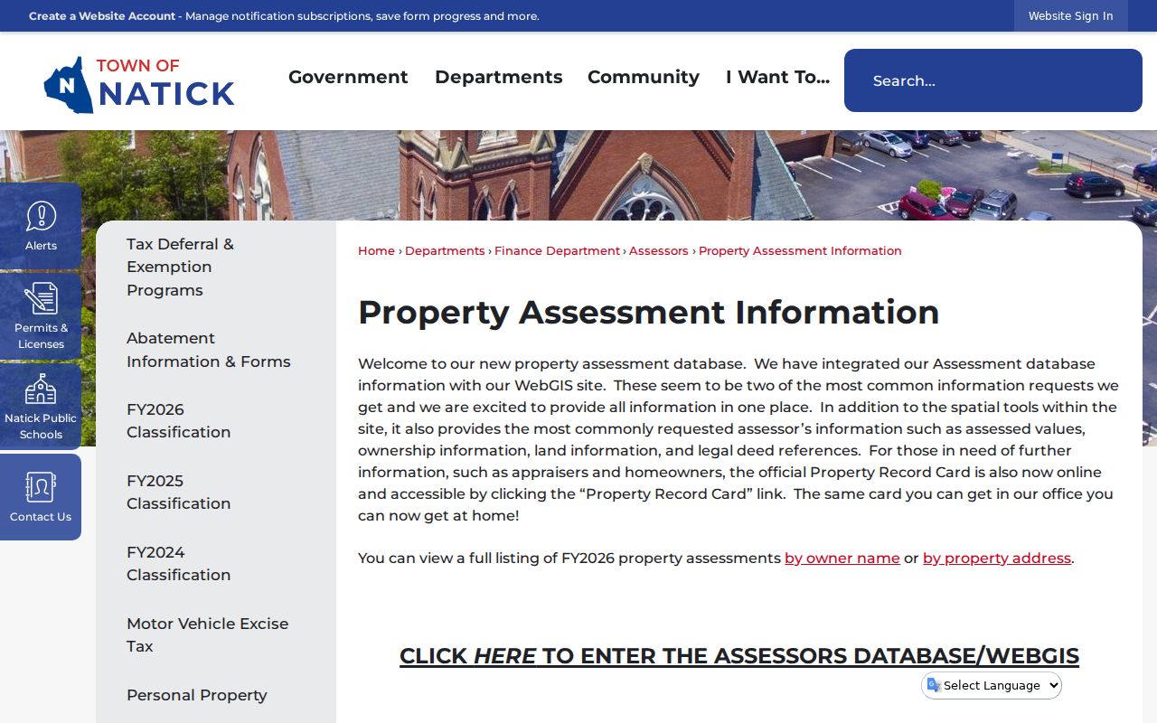
The assessment system supplies owner and address routes plus Property Record Card access. Its parcel reference is useful after USPS confirms the delivery address, but an assessed owner is not automatically the current occupant.
USPS Tools for a Natick ZIP Code
The USPS ZIP Lookup has three relevant modes: an address lookup, a city-and-state lookup, and a cities-by-ZIP lookup. Address mode requires a street address, with city and state or ZIP information used to resolve it. USPS may standardize the format differently from the wording entered. The service also cautions that a ZIP result does not confirm that a person or company is at the address.
| Lookup mode | Use |
|---|---|
| Street address lookup | Use a street address with city and state or ZIP information to check a deliverable, standardized address. |
| City and state lookup | Use the location to see ZIPs associated with that city label. |
| Cities by ZIP | Enter a ZIP to review the postal city result attached to that code. |
| Address result | Use it for delivery verification, not as proof of town jurisdiction or a person’s location. |
Use the result as the first spelling check. A parcel search, deed search, public-record request, or voter inquiry has different fields and restrictions. The Registry of Deeds filters by town rather than ZIP, and MassCourts filters by court department and location.
A city-and-state result is also not a town-boundary finding. A postal city label can serve addresses outside the municipal limits, while a town boundary can contain delivery routes associated with another label. For Natick record work, retain the full standardized address alongside the town, parcel, and date. Those details make it easier to recognize when a search result is about the correct place rather than merely a matching ZIP.
Natick Villages and Postal Labels
Natick records often use place names that are more precise than a postal code. South Natick is associated with the Eliot, Union, and Pleasant Street area near the Charles River. Natick Center is associated with Main, Central, Summer, and North streets. The Henry Wilson Historic District follows West Central Street, while Felchville, Cochituate, and the Route 9 corridor can appear in planning, historic, or community material. A historical directory can therefore use a village label that does not match the first label expected in a current map search.
This records geography is especially important when following older people and property references. Natick’s Registry of Deeds work is county-based in Cambridge, and Natick District Court sits in Framingham. A single Natick address can require a town parcel map, a county land portal, and a court location filter. ZIP data helps normalize the delivery address, but it does not replace any of those records.
Find a Resident in One Natick ZIP
Begin with an exact address, not a ZIP alone. The Secretary’s voter-status tool requires the voter’s own name, complete date of birth, and five-digit residential ZIP, and is intended for that individual’s registration check. The assessor page advertises owner-name, property-address, and map entry points, but the research did not document a ZIP filter for MapGeo. Do not assume that a portal can search by ZIP when the official page does not say so.
- Use USPS to standardize the full street address and confirm the current delivery code.
- Open Natick Assessment/WebGIS by address, then record the parcel, situs address, and legal deed reference.
- For an existing municipal record, request it from the appropriate Natick office with the address and a narrow date range.
- Use the Registry’s town and property fields, not a ZIP, when a deed or plan is the next source.
Once a ZIP has narrowed the address, the Natick Street Directory supplies the fuller address-by-address trail through parcels, deeds, and GIS. That workflow is more reliable than attempting to turn one delivery code into a street roster.
Natick Portals With a ZIP Code Field
Only use a ZIP field where the record keeper actually provides one. The individual voter-status form needs a five-digit residential ZIP and an agreement checkbox. The state’s unclaimed-property search accepts ZIP as one way to narrow a name search. The assessor entry page does not document a ZIP filter, while the Registry uses a town filter and MassCourts uses court and location controls. A ZIP is useful as a narrowing detail, not a universal search key.
| Portal or record | ZIP role | Other documented inputs | What it can establish |
|---|---|---|---|
| Secretary voter-status form | Required five-digit residential ZIP for an individual self-check | First name, last name, full date of birth, agreement checkbox | Registration-related status for that individual. |
| FindMassMoney | Optional narrowing field | Last or business name, first name, property ID | A possible owner or heir lead that requires proof for a claim. |
| Natick Assessment/WebGIS | No documented ZIP filter in the research | Owner name, property address, map parcel, property card | Assessed ownership and parcel information. |
| Middlesex South Registry | Town, not ZIP, is the location filter | Name, property, document, book, date, plan, and related modes | Legal land-transfer and plan records. |
A public record may hold a mailing address distinct from the parcel’s situs address. Keep those labels separate. A tax-bill mailing address can be a post office box, a representative, or a prior address, so it does not establish that the owner lives at the Natick property.
Natick ZIP Code Boundaries and Town Lines
ZIP boundaries are delivery constructs, not official municipal maps. MassGIS ZIP polygons are approximate boundaries based on a 2018-aligned street source, and MassGIS warns that USPS does not maintain an official ZIP map. A delivery route may cross a town line, and a town can contain addresses whose postal city label points elsewhere. Use USPS for mailability, Natick GIS and assessment for parcel location, and the precinct map for civic geography.
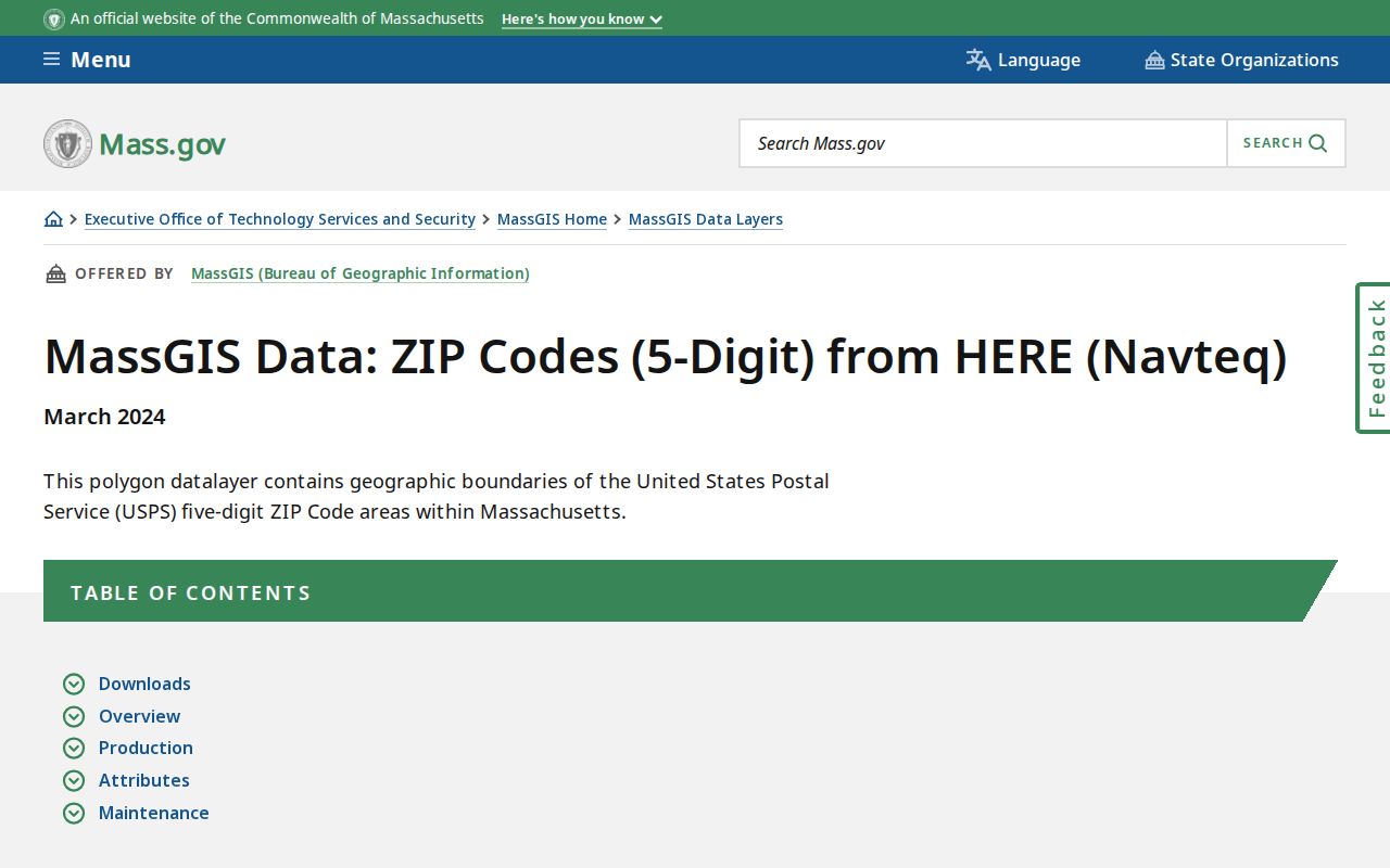
The state dataset is useful for broad geographic context. It cannot replace the town’s parcel records when the exact location of a Natick address matters.
- ZIP and ZIP+4
- A five-digit ZIP directs mail to a delivery area. ZIP+4 adds a more specific delivery segment.
- PO-box ZIP
- A code used for post-office boxes rather than ordinary street delivery. No current Natick PO-box-only ZIP was verified in the research.
- Unique ZIP
- A code assigned to one institution or organization. No current Natick example was verified in official USPS results.
- Carrier route
- A delivery grouping used by the postal service. It is not a town boundary or a household list.
Boundary check. For a parcel or jurisdiction question, rely on Natick GIS, an assessment record, and the legal land record rather than a ZIP polygon.
Requesting Natick Records by Address
A ZIP code alone is usually too broad for a public-records request. Under Massachusetts Public Records Law, M.G.L. c. 66, § 10, request an existing record by its full address, record type, and a useful date range. Natick accepts requests in person, by mail, fax, email, and through its online Public Records Center. The town need not create a new address list or answer a question that does not identify an existing record.
For a permit, plan, or municipal file, give the street address and date range. For a parcel, add the map-lot or deed reference if available. For an older person or address trail, use historical directories, resident lists, census material, and deeds as separate sources. This preserves the difference between a postal clue and the official record that supports it.
When a source is not online, use the keeper named for that record. The Natick Town Clerk is the local municipal and vital-record contact. The Assessors hold property materials, while the town’s planning and permit records follow their own public access path. Middlesex South land instruments belong with the Registry, and court documents belong with the clerk or register that filed them. Asking each office for a specific existing record is more effective than asking for everyone associated with a ZIP.
Note: A response to a focused Massachusetts public-records request is generally due within 10 business days, subject to statutory extensions and response rules.