
Natick Neighbors Through Block Records
Each source describes a different part of the block. Natick MapGeo gives the parcel pattern and connects a selected parcel to assessment information. Registry deeds and plans are the legal check for a boundary or ownership transfer. The local voter list is a public-record request channel, not an anonymous street-wide web search. Community organizations can supply public contacts or events, but the research did not find a public roster for a Natick neighborhood association or homeowners association.
Use the evidence narrowly. A parcel card can identify an assessed owner and a mailing address. A plan can clarify the lot. A voter list can contain public voter fields subject to exclusions. None of those alone proves all people who live at an address. The table separates the documented record types so that a block search stays tied to the right custodian.
| Block source | What it shows around an address | Access route |
|---|---|---|
| Natick MapGeo assessment parcel | Parcel geometry, owner link, situs and mailing information if displayed, deed reference, and tax context | Public MapGeo and property-card route |
| Natick GIS layers | Tax parcels, zoning, civic boundaries, infrastructure, wetlands, aerial imagery, and other geographic context | Town GIS page and MapGeo |
| Middlesex South deeds and plans | Legal transfer parties, plan references, boundaries, and instruments | Free MassLandRecords search; Registry fallback |
| Natick local voter list | Public voter fields for registered voters, with confidential records and other fields withheld | Written request to Town Clerk |
| Community and historic sources | Public events, research contacts, historic families, maps, and civic context | Natick Center, Morse, and Historical Society sources |
Note: A tax parcel and an ownership record are useful block clues, but neither is a complete or current list of Natick neighbors.
Map a Natick Block From One Parcel
Open Natick MapGeo, search or pan to the target, and select the parcel. Natick’s integrated assessment and WebGIS system provides property-address and owner-name entry paths, current assessment information, legal deed references, and a Property Record Card. Once the first parcel is identified, pan or zoom one parcel outward and select the polygons that share a boundary. Record the situs address, parcel or map-lot label, owner shown, and deed reference for each relevant parcel.
- Locate the address and open its assessment or property-card information.
- Write down the parcel identifier, situs address, owner, and legal deed reference as displayed.
- Click each shared-boundary parcel rather than relying only on visual proximity. Record the same fields and the date checked.
- Use zoning and civic-boundary layers to see whether an apparent block edge is also a district edge.
- Open the Registry deed or plan when a boundary, lot, or owner relationship needs legal confirmation.
MapGeo is a reference map, not a legal survey. Natick advises that assessor and GIS mapping should not substitute for a licensed land survey. For a full named-street record chain, the Natick Street Directory follows the address sequence more broadly.
Natick GIS Records in Context
The town’s GIS page documents tax parcels, zoning and regulatory or civic boundaries, water, sewer, and stormwater infrastructure, built-environment data, wetlands and surface water, natural resources, public-safety data, and aerial imagery. These layers help explain the setting around a block. They do not expose customer records, household identities, or a named buffer tool. The exact Natick controls for abutter, radius, or adjacent selection were not text-visible in the research, so do not assume a particular button exists.
Where the map shows a shared edge, compare it to a recorded plan or deed. Visual adjacency is geographic. The legal lot boundary depends on the recorded description and, where needed, professional interpretation. The town’s GIS Division is at 75 West Street and lists Rich Ames, GISP, as its contact, but access questions about a parcel card also belong with the Assessors office.
The Natick Planning and ZBA Application Review tables add an address-keyed public-hearing layer. Visible entries can include case number, address, status, permits, project type, project description, and a permit-information link.
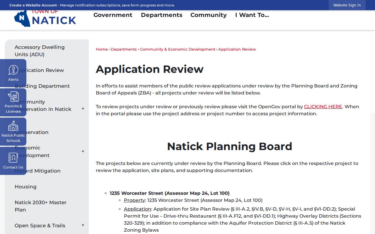
A planning or permit applicant is evidence about a project, not a complete statement of ownership or residence, so confirm it through the parcel and deed records.
Natick Voter Records by Block
Massachusetts distinguishes an individual voter-status check from access to a local voter list. The Secretary’s Find my voter registration status form is intended for the voter and requires first name, last name, full date of birth, residential ZIP, and an agreement checkbox. It is not a public name-to-address search. If someone recently moved, the state advises trying the prior ZIP and checking with the local official; recent registrations may take two to three weeks to appear.
A request to the Natick Town Clerk can seek a local voter list by a defined street, precinct, date, and field set. The Secretary describes public local fields as name, address, party, date of birth, active or inactive status, voter ID, voting history, record-change history, mailing address, registration date, and inactivity date. Phone, email, veteran status, permanent absentee status, minor records, and confidential-voter records are withheld. The statewide central registry is not public under M.G.L. c. 51, § 47C.
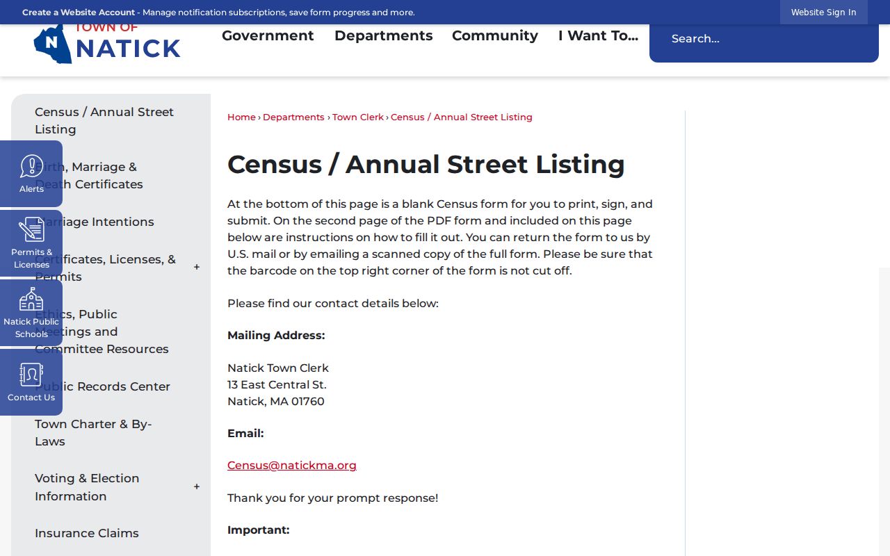
Natick’s annual street listing is a related local record. It asks households to confirm members, add or remove names, and report moves or deaths. It is not a substitute for a current household roster, and protected voters may be excluded. Contact the Natick Town Clerk for local-list procedures and redaction limits.
The town’s annual street-listing instructions show the household verification process and the two-year nonresponse consequence referenced in M.G.L. c. 51, § 4(c).
Use a locally obtained list only within the applicable public-record and confidentiality limits. It does not support publishing a block roster.
Natick Community Record Sources
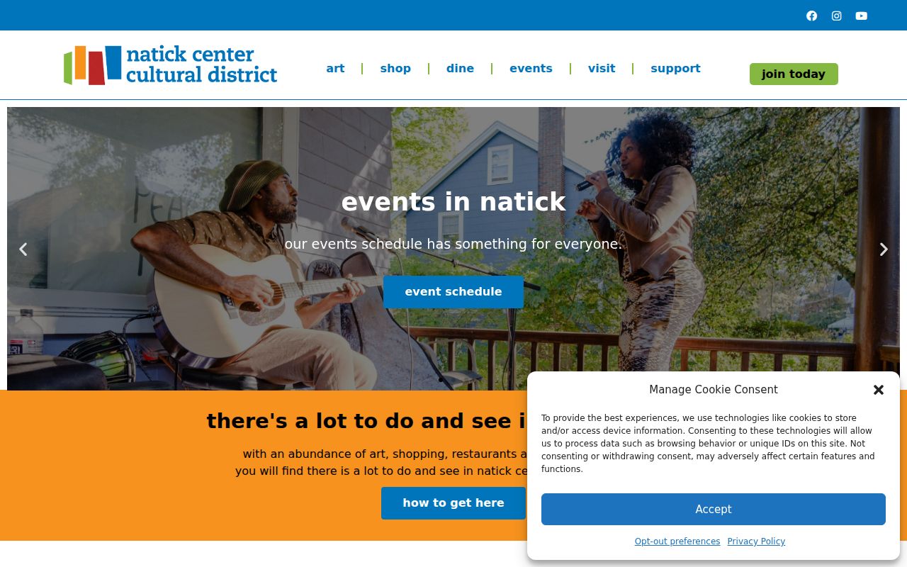
Community sources give a different type of neighborhood context. Natick Center Associates and the Natick Center Cultural District describe a public and private partnership that involves property owners, merchants, workers, neighbors, officials, nonprofits, and corporations. Its public pages offer events and contact information, not a resident or member list. Treat a public event listing as an opportunity to connect through the organization, not as proof of a person’s address or membership.
Natick Center Associates
Public cultural-district partnership information, events, and contact routes for Natick Center. No public membership roster was located.
Natick Historical Society
Finding aids, maps, historic families, civic groups, veterans, and business collections. It accepts research requests but cannot conduct extensive individual research.
Morse Institute Library
Local-history information, newspapers, public computers, reference help, and licensed databases. Access can differ with a library card.
The Natick Center Cultural District page is the documented public source for that community layer.
For a historic address question, the Historical Society and Morse sources may be more useful than a current community page because they preserve maps, directories, newspapers, and local collections.
Natick Historic Block Records
Place names matter when reading a block record. South Natick’s early settlement context is tied to Eliot, Union, and Pleasant streets near the Charles River. Natick Center developed farther north, while the Henry Wilson Historic District follows West Central Street. Felchville and Cochituate are additional historical labels. A directory, map, or deed may use one of these names even when a current search begins with a different street label.
Natick’s official 2021 precinct map has ten precincts, but precinct, parcel, ZIP, and village describe different geographies. The town’s historic materials also identify 1744 annexation of part of Needham, a 1745 Natick District, and town incorporation in 1781. For older records, compare the printed address, plan or legal description, historic map, and current parcel rather than assuming today’s block name applied in the same way.
Note: No verified Natick street-renumbering date was located, so use maps, deed descriptions, and street listings to bridge an old address.
Natick Block Sources Compared
Official records identify their custodian, date, and limits. Commercial neighbor-lookup products combine public material with marketing data and may conflate people with the same name or omit protected people. For a block question, the transparent method is to begin with the assessor and GIS record, check the Registry for legal land evidence, and make a defined local voter request only where it is appropriate. A direct custodian source also provides a place to correct a record or ask about an omission.
| Source type | Strength for a Natick block question | Important limit |
|---|---|---|
| Official parcel, GIS, deed, or local voter record | Custodian, record type, date, and access rules are identifiable | Each source shows only its own purpose and may have redactions or gaps |
| Commercial neighbor-lookup category | May combine address and public-record leads in one interface | Can merge same names, lack context, and omit protected or updated information |
When an online route stops, ask the record custodian for an existing record through the town’s Public Records Center or a written request under M.G.L. c. 66, § 10. State guidance generally calls for an initial response within 10 business days, subject to the law’s limits and exemptions.
Protect Privacy When Looking Up Natick Neighbors
Several block-level records are not public. Those limits include actual household information that is not part of a public roll, minor records, confidential voters, Address Confidentiality Program addresses, utility account information tied to identifiable customers, DMV addresses, unlisted phone or email, sealed court material, and non-public investigative details. Massachusetts protects confidential voter registration under M.G.L. c. 54, § 37 and 950 CMR 49.00. The Address Confidentiality Program provides a substitute address for qualifying participants under M.G.L. c. 9A and 950 CMR 130.00.
The availability of a parcel or a voter field does not permit harassment, intimidation, or publishing a roster of people on a block. If a public record needs correction or contains sensitive information, contact the original custodian about its correction, redaction, or confidentiality process.
Lawful use. Natick neighbor research may support civic curiosity, property context, or reconnecting through public channels. Do not use information to stalk, harass, or harm anyone.